top of page


Ask us how we can automate, collect, manage, securely store, map or organize your data!
Our Work
Please see below a few examples of what we could do for your organization.

01
I designed an ArcGIS Story Map presentation to document my use of OpenAI and Google Earth Engine to do a multispectral analysis of a backyard for a legal case
02
Commemorating a Journey
I created this Story Map as a gift for my friend’s good friend. Sadly, her partner passed away recently, and this story map memorializes their recent camping hiking trip by presenting the data in an interactive visual format.

.jpg)
03
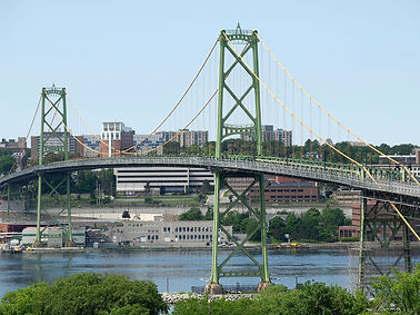
3D Modelling
I created a 3D representation from LIDAR collection of the Angus L. Macdonald bridge
04
Visualizing Data in Maps
This is a printed representation of cannabis prices changing based on data from Statistics Canada.


05
Mobile Data Collection and Display

Secure Data Storage, Dashboards, Multispectral Classification Comparisons, Planning & Development Mapping, Natural Resource Categorizing, Mapping in AutoCAD and more!


bottom of page